Description
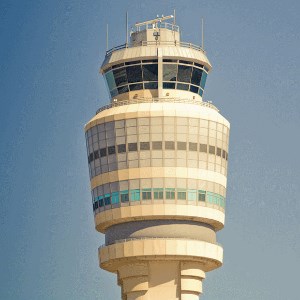
Shows LIVE air traffic in 50 km radius around Hartsfield-Jackson Atlanta International Airport (ATL) in Mixed Reality environment above a map in both HoloLens or Windows Mixed Reality headsets. An airplane can be selected by Air Traffic Controllers by air tapping them to focus it and bring to attention to other ATCs using this app. If anyone else in the world is using this app to select aircraft, you will soon know ;) Shows 6 different types of aircraft. Watch for smaller craft flying around to the north and south, and them landing at the very northern part of the map at The Kald Peachtree Airport
Supports following speech commands * "Move airport" (use airtap, hold and move hand to move airport) * "Rotate airport" (use airtap, hold and move hand to rotate airport) * "Done moving" to close off rotating or moving airport (this will make the trails show up again) * "Go faster" to speed up moving/rotating * "Go slower' to slow down moving/rotating. * "Show help" to show in-app help
This app is intended to be use in envisioning sessions with customers and Microsoft to show the possibilities of HoloLens in ATC environments, large scale aerial combat, shipping, etc
Note: scale horizontally is about 1:12000, vertically about 1:1500 to exaggerate height. Airplanes are totally NOT to scale.


