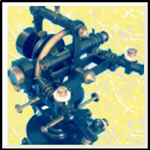
Näyttökuvat:
Vähintään
Käyttöjärjestelmä
Arkkitehtuurix86,x64,ARM,ARM64
Suositus
Käyttöjärjestelmä
Arkkitehtuurix86,x64,ARM,ARM64
Kuvaus
This application allows you to design and calculate the mapping of a land or a geographical area as a total professional station by fixing the points of the drawing with its coordinates calculated with 5 different ways: • automatically with GPS if the device is equipped with it • with the online map by pointing the mouse to the point to be fixed • manually entering the coordinates of the point • calculating the point based on intersections • importing the design calculated by another device and saved on online OneDrive or DropBox archives.
Muita käyttäjien suosikkeja
Arvostelut
tavarat
noin Survey Total Station
Advertisement
Suosituimmat
Suositut sovellukset
Parhaiksi arvioidut sovellukset
Parhaiksi arvioidut pelit

