Descripción
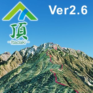
新バージョン登場。 山岳立体マップ[頂] (北ア 剱・立山)エリアのPC版です。 最新情報や他エリアのご購入は「山岳頂」で検索します。
[頂]は、インドア・アウトドアどちらも使える山アプリです。 365日 山歩き。 携帯電波の届かない場所でも地形を立体表示可能。 これまで無かった、山の凹凸に向き合った山アプリです。 ・イメージトレーニング/地形把握 ・計画立案 ・GPS現在地取得(モバイル版) ・山座同定 ・登山追体験 等にお使いください。 ※:「北ア 立山・無料版」、「陣馬・高尾 無料版」でお試しできます。 ※:最新情報は「山岳頂」で検索して[頂]のホームページにアクセス。 ※:カスタマイズはご相談ください。
A la gente también le gustó
Opiniones
Artículo
sobre 頂(北ア 剱・立山)
Advertisement
Top Descargas
Tendencias en aplicaciones
Aplicaciones mejor valoradas
Juegos mejor valorados


