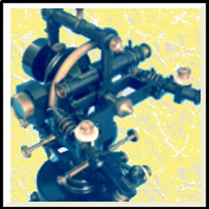
Snímky obrazovky:
Minimum
OS
Architekturax86,x64,ARM,ARM64
Doporučené
OS
Architekturax86,x64,ARM,ARM64
Popis
This application allows you to design and calculate the mapping of a land or a geographical area as a total professional station by fixing the points of the drawing with its coordinates calculated with 5 different ways: • automatically with GPS if the device is equipped with it • with the online map by pointing the mouse to the point to be fixed • manually entering the coordinates of the point • calculating the point based on intersections • importing the design calculated by another device and saved on online OneDrive or DropBox archives.
Lidem se také líbí
Hodnocení
čl.
O Survey Total Station
Advertisement
Oblíbené Stáhnout
Nové a populární
Nejlépe hodnocené aplikace
Nejlépe hodnocené Hry

